gView Carto
The app gView.Carto is designed for creating and viewing maps. These maps can be published on the gView.Server and are then available in various interface formats.
This section describes the process of map creation. The individual tools will only be briefly mentioned or not at all. The goal is to be able to add data to a map and design the legends after reading this chapter.
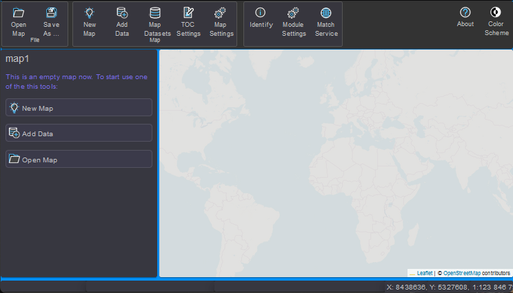
After starting by clicking on gView.Carto, the application initially displays an empty
map image with a transparent background TileCache. This background is not part of
the actual map but serves only for orientation. If the map is saved and
published on the gView.Server, this background is not included. The background
makes it easier to navigate the map, especially if the map later consists
only of vector data.